


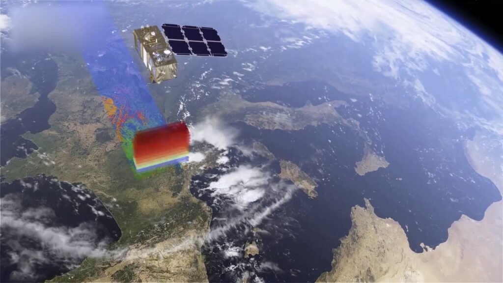
Geospatial data is the use of spatial data to describe a given area. It provides information about features that are located on or near the Earth’s surface, such as buildings, roads, and rivers.
Geospatial solutions can be used for many applications ranging from simple maps to complex modelling. Geospatial data has become essential in modern-day business due to its ability to incorporate location into decision-making processes.
If you are looking for a geospatial solutions company in Australia, this blog can help address several issues and apprehensions.
What is Geospatial Data?
Geospatial data is a type of location-based data. It describes real-world objects, locations and events. Geospatial information is used in many applications to make sense of the physical world, such as navigation systems and GIS software.
Which businesses might need Geospatial data?
Geospatial data can be used in a variety of industries, including:
- Real estate: Geospatial data, such as maps and satellite imagery, is essential for real estate agents who want to sell properties. The data helps them determine the best spots for homes and businesses. It also helps them understand what changes have occurred in the area since their last visit (e.g., new roads built).
- Agriculture: Farms use geospatial technology to monitor crops and livestock over time. They also use it to plan irrigation systems that save water while maximising crop yield.
- Transportation: Companies in this industry use geospatial analytics software to calculate travel times between cities or stations along an existing network before investing in new transportation infrastructure projects (e.g., trains or buses).
In addition to the above, there are other contemporary industries where geospatial solutions have proved to be a gamechanger.
Why are Geospatial solutions needed when there are free options like Google Maps?
Google Maps is a free service that anyone can use. It is designed with users in mind and provides an easy way to navigate the world around you. However, it does not have all the data or tools needed for businesses to get work done.
On the other hand, geospatial solutions help solve this problem by providing businesses with geospatial data sets such as street addresses, city boundaries and latitude-longitude coordinates that enable more accurate mapping solutions to be developed and supported.
The main difference between Google Maps and geospatial solutions is their level of detail: Google Maps is excellent at providing a view of where something is located (i.e., what your current location looks like). However, it lacks information about things like distances between locations or boundaries between cities or states.
Are there any legal factors in Australia related to Geospatial data?
There are no legal implications in Australia related to Geospatial data. The laws are similar to US law, but some cases have slight differences. Therefore, it is always advisable to take suggestions of appropriate experts (such as a legal advisor) or a geospatial solutions company that can provide all the details about the legal implications of the usage of such services.
Conclusion
It is essential to understand geospatial data and its applications. There are many other uses for it besides just mapping a remote location, such as tracking vehicles or even finding out where your customers are.
Geospatial solutions can be used for many applications ranging from simple maps to complex modelling. In addition, geospatial Solutions can be used by any business with an interest or need to know where things are located or how far away they may be from one another.